- Sport
Mountain bike itinerary - Plateau de Montrond

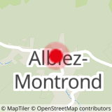
Sport Mountain bike itinerary - Plateau de Montrond Albiez-Montrond
About

Further informations
Ground, Grit
1 3


Prices
Free access.
Period of practice
All year round.
Subject to favorable weather.
Equipments
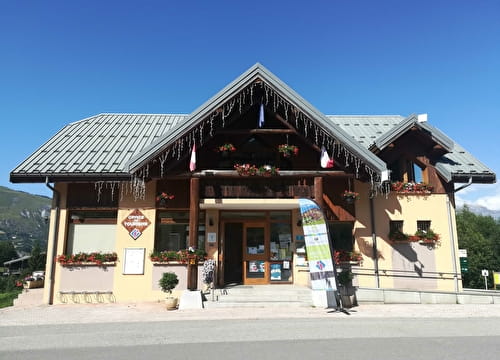
- Car park