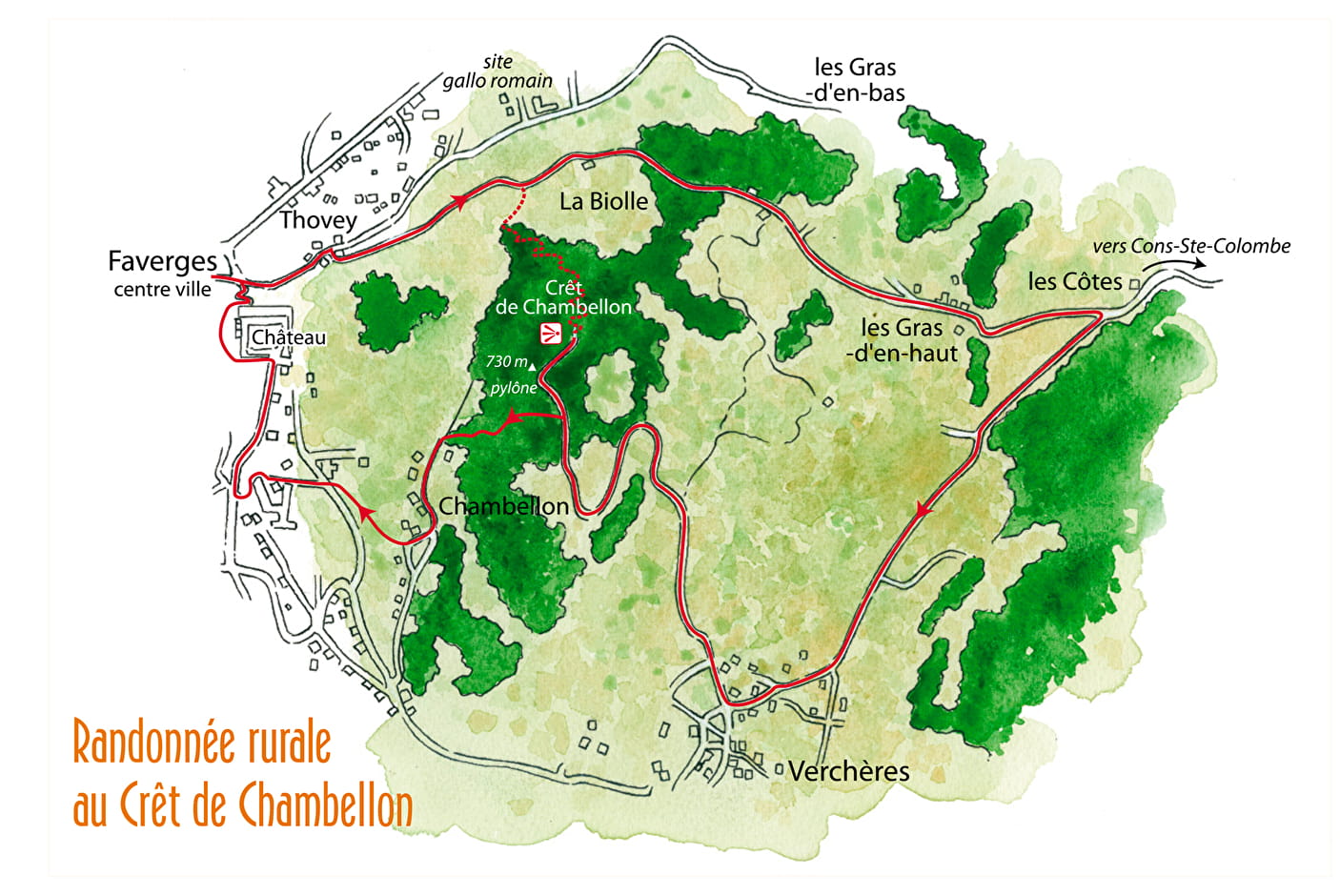
Follow the signs to "Crêt de Chambellon" starting from the carré des Tisserands.
A path leads to the Castle of Faverges through a staircase.
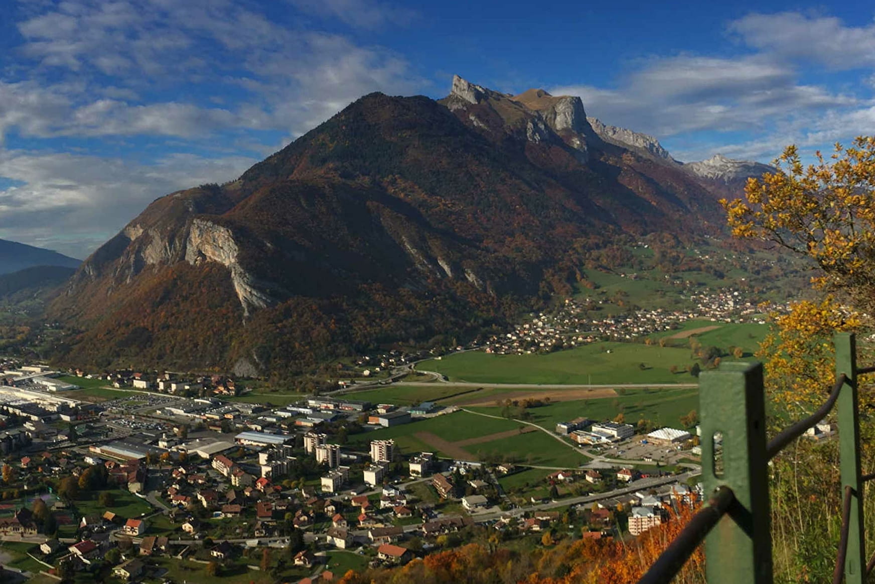
The route is signed up to the top (730m high) where you can enjoy a panoramic view of the town and its surroundings.
To come back down, take the pylon path you followed on your way there.
You can also make a return hike to the real culminating point (733m high). On this side, you can enjoy a view of the Mont-Charvin and part of Les Bauges.
Follow the yellow arrows on a green background leading to Verchères and Faverges in 35 minutes.
- Viewpoint
Crêt de Chambellon (viewpoint)
Hike accessible in any season except in times of snow (between December and March).
About
1 1

Prices
Free of charge.
Reception
Opening
All year round.
Subject to snow conditions.
Services
- Pets welcome
- Orientation board
Contacts
Access