What to see / What to know :
The Croix de la Chal is located on the summit of the Pointe de l'Armélaz hill (1840), which offers fine views of the Belledonne range, the Maurienne valley and the town of Saint-Jean-de-Maurienne, the Lauzière range, the Grand Coin and the Grand Perron.
- Sport
La Chal
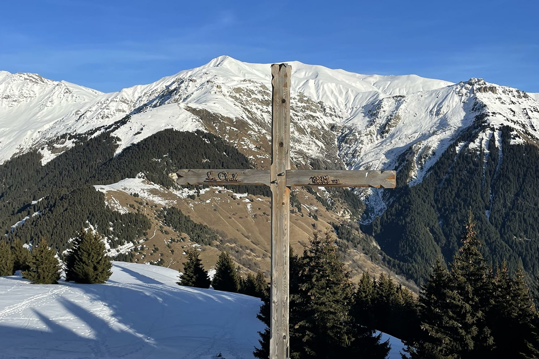
This snowshoeing itinerary takes you up to La Chal, a 1,838 m summit with a superb 360° panorama.
Sport La Chal La Tour-en-Maurienne
About
1 4


Prices
Free access.
Reception
Period of practice
From 16/12 to 17/03.
Subject to snow conditions.
Services
- Pets welcome
- Parking nearby
- Free car park
- Car park
- Public WC
- Picnic area
Contacts
Access


