- Sport
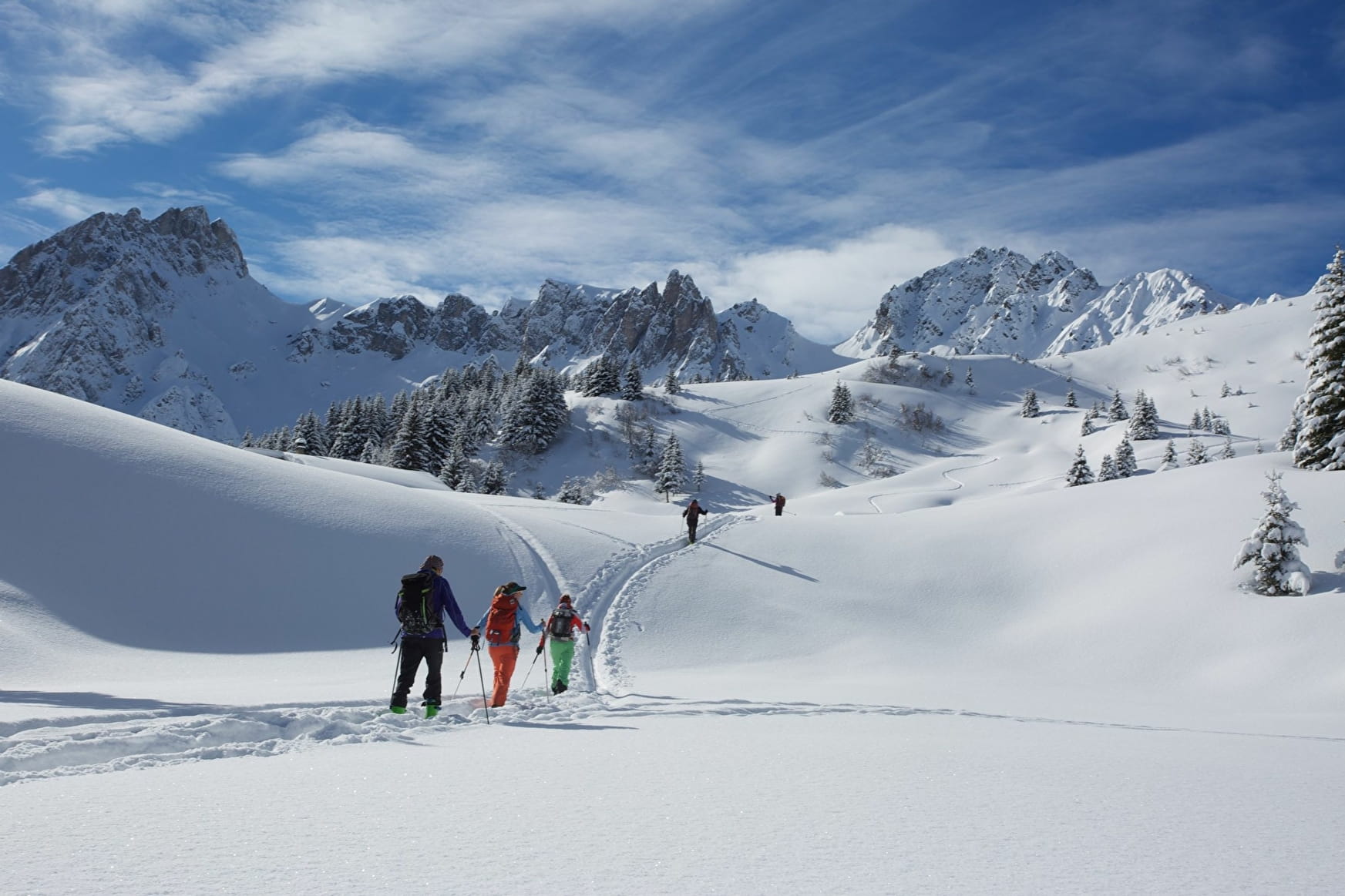
Refuge des Prés : Raquette et ski de rando aux Contamines Montjoie
About

From the Notre-Dame de la Gorge car park: after the footbridge, take the main path, the Roman road, towards the "Roman bridge" with the stream on your right. Walk up this path; be careful, it is often icy! Anti-slip shoes can be useful. Continue along the Tour du Mont-Blanc GR until you reach the Rollaz plateau with its spectacular views of the Col de la Fenêtre, Col de la Cicle and Col des Chasseurs. Turn right into the Rollaz forest and after the Chalets des Prés you'll reach the Prés Refuge. To descend, go past the Balme Refuge avoiding going to the signposted Wildlife Reserve.
Prices
Free of charge.
Reception
Warning: The conditions of the trails are subject to change, remember to inquire before leaving!! Always be careful and plan ahead when hiking. Asters, CEN 74 can not be held responsible for the occurrence of any accident or incident on this itinerary!!! Access to the trail is subject to weather conditions.
Period of practice
From 01/11 to 31/03.
Subject to snow conditions.
Contacts
Access

