What to see / What to know :
An alpine pasture frequented by the inhabitants of Montvernier and Le Châtel until the 11th century, Montpascal became a commune in its own right over the years, with up to 450 inhabitants. In 2001, the village merged with the commune of Pontamafrey, which later became, along with Le Châtel and Hermillon, the commune of La Tour-en-Maurienne.
- Sport
The loop of the Col
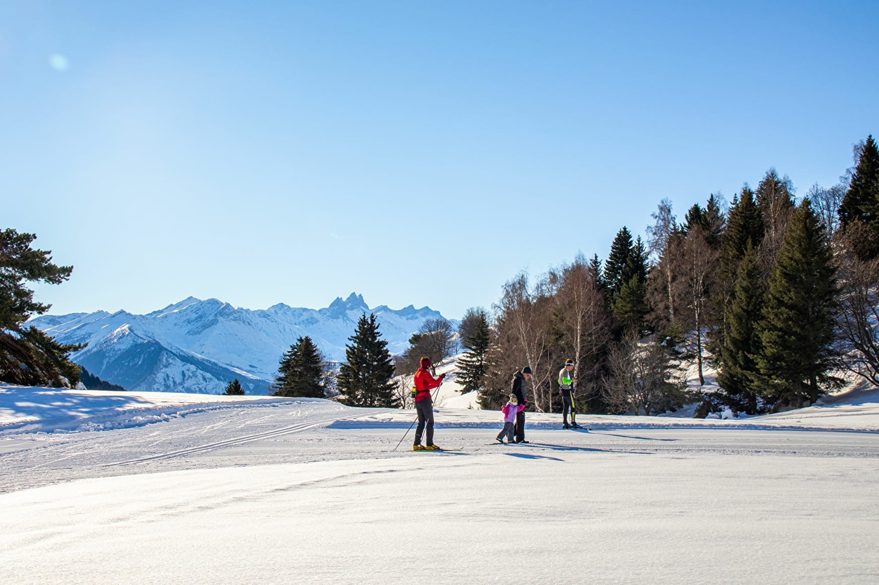
A lovely route to discover the village of Montpascal. You can also start from this village.
Sport The loop of the Col La Tour-en-Maurienne
About
1 1

Prices
Free access.
Reception
Period of practice
From 16/12 to 17/03.
Subject to snow conditions.
Services
- Pets welcome
- Parking nearby
- Free car park
- Car park
- Public WC
- Picnic area
Contacts
Access

