
Departing to the right of the Les Echaux chairlift at Le Mollard, this gentle route takes you to the high-altitude restaurant Le Trapanel. Dishes and local produce are served in a relaxed setting overlooking the Aiguilles d'Arves.
(Le Trapanel is not open on windy or rainy days).
What to see / What to know :
Below, the deep, dark Arvan gorges, carved by postglacial erosion.
- Sport
Ascent to Trapanel
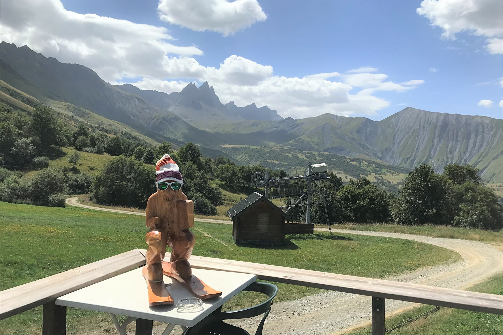
This short, pleasant walk out of Le Mollard takes you up to the sunny terrace overlooking the Aiguilles d'Arves at the Trapanel restaurant.
Sport Ascent to Trapanel Albiez-Montrond
About

Map references
- Map Vallées de l'Arvan et des Villards (1/25000 with IGN data) available at 7€ in our Tourist Offices during opening hours. - Available on our "Pays des Aiguilles d'Arves" application, downloadable free of charge onto your smartphone.
Further informations
Stone, Grit
1 1

0/ Start from Col du Mollard.
1/ Continue on the RD80 towards Le Mollard for 100 m.
2/ Turn slightly left onto Rue du Ravarin.
3/ At the Pierre aux Fées vacation center, turn left onto the Route de la Praz (road then forest track), then continue on the sentier de la Plaigne to the next junction.
4/ Turn left towards Les Aplanes to the high-altitude restaurant Le Trapanel.
5/ Return by the same route.
Prices
Free access.
Reception
Period of practice
From 01/01 to 31/12.
Services
- Pets welcome
- Public WC
- Car park
- Free car park
Contacts
Access
Parking du Col du Mollard, RD80 Route du Col du Mollard.
- Not accessible in a wheelchair
