

Are you ready to faithfully follow the Arc river?
On your way along the Chemin du Petit Bonheur, you're sure to want to stop
for a family picnic. Get yourself comfortably settled at a banquet table... It
seems to have been waiting for your "gnia"* to stop here for a feast.
Under the watchful eye of the imposing Tierce peak, you continue your
journey through the heart of the meadows. Can you see its chapel, perched
at 2,973 meters?
And, with your gaze forever glued to the landscape, it takes just a few seconds
before you spot the breathtaking waterfalls on the south side. Unrestrained,
they cascade down from the glaciers of Vallonbrun and Gefret at the heart
of the Vanoise National Park. In early summer, you won't be able to take
your eyes away from the sight.
Then, in the forest of Chantelouve, you might come across some squirrels,
fearful at the passage of adventurous mountain bikers.
Before you get to the village, Le Ribon invites you to new hikes. Next time,
that's a promise…
- Sport
Bessans Plain
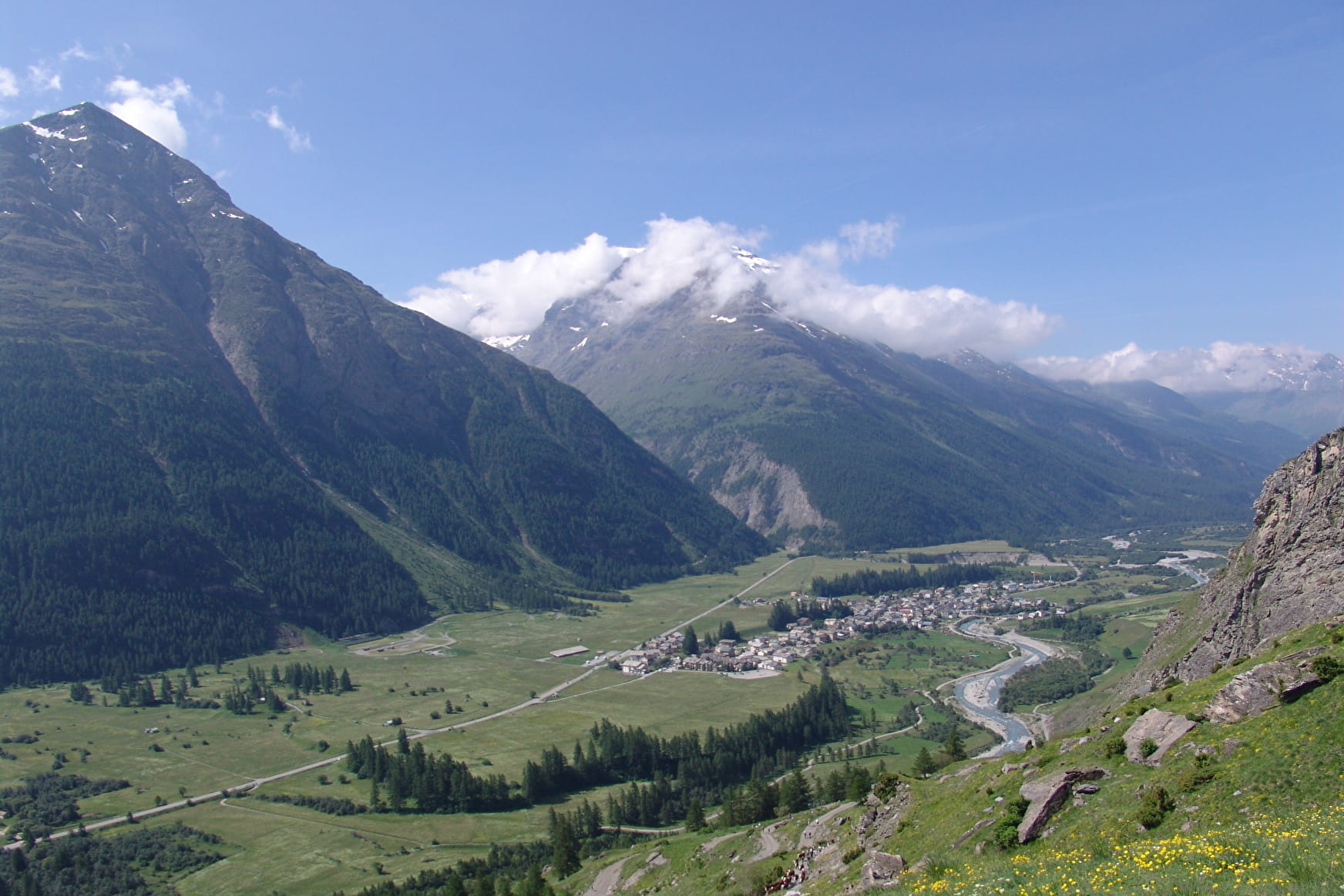
Half in the shade, half in the sun, here are a few miles of easy walking that'll leave you free to look around at your leisure. At over 1,700 metres above sea level, take an invigorating stroll that'll plunge you deep into the mystery of waterfalls.
About

Signs
National signposting (GR)
Difficult passages
Crossing the RD 902 without a pedestrian crossing.
Map references
Map and booklet "Walks and Hikes Haute Maurienne Vanoise" (sold for € 10 at the Tourist Office)
Topoguides references
Green route n°12
Further informations
Ground, Hard coating (tar, cement, flooring), Grit
To guide you in the field, consult the "step-by-step" directional diagram provided in pdf.
Prices
Free access.
Reception
The duration of hiking trails is calculated using reference paces: 300 m/h ascent, 500 m/h descent and 4 km/h on the flat.
As hazards may occur at any time on the routes, the GPX tracks provided are not contractual. They are given for information only. Riders use them at their own risk, depending on their level of technological proficiency and their understanding of the terrain.
Pets allowed on leash only.
Period of practice
From 01/05 to 15/10.
Subject to favorable snow and weather conditions.
- Pets welcome
- Free car park
- Car park
- Picnic area
Contacts
Access
By bus: Line S53 - Mairie/Poste stop.
By car: Park in the Town Hall parking lot.