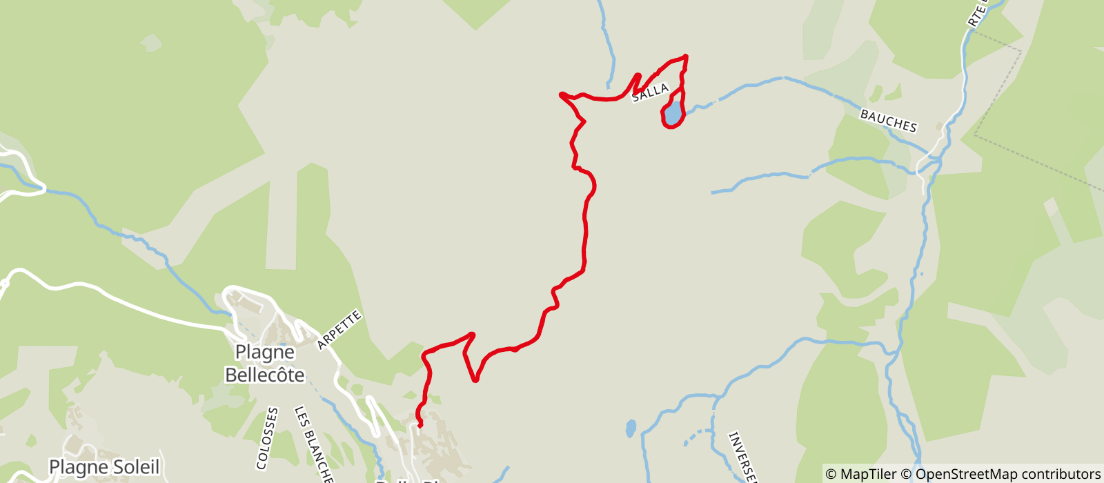
Start from the top car park in Belle Plagne and take the dirt road to the alpine chalets. At the chalets, take the path on the right going towards Col de l’Arpette.
At the top of the chairlift, go over the Col de l'Arpette and down the Col du Carroley on the dirt road, then take the path down to the right to the Lac du Carroley (2186m). Fishing in the lake is permitted (fishing permit obligatory). To come back, go back up the same path to the pass. Go right, staying on the side of the Arpette, then follow the path through the pastures back down to Belle Plagne.
Possible variant: on the way back, you can climb to the top of Mont Saint Jacques at 2407 metres (chapel and orientation table at the top). Add an extra hour for this variant.
- Sport
Carroley circuit trail

A lovely route leaving from Belle Plagne and going to Lac du Carroley.

Sport Carroley circuit trail La Plagne
About

Further informations
Stone, Ground
Start at the top of Belle Plagne.
1/ Take the dirt road that passes between Résidence des Balcons and Hotel des Balcons.
2/ Continue on the road to the alpine chalets.
3/ Stay on the road to the right.
4/ At the junction, continue to the left on the road that climbs to the top of the Arpette.
5/ At Col de l'Arpette (top of Arpette chairlift), continue on the dirt road that winds down.
6 / At the junction, take the footpath on the right that takes you round the lake.
7/ come back on the same route.
You arrive back at the top of Belle Plagne.
Prices
Free of charge.
Period of practice
From 29/06 to 31/08/2024, daily.
Contacts
Access
Free covered car park next the start of the path.

