- Sport
Hike: The Roc de Nantbellet
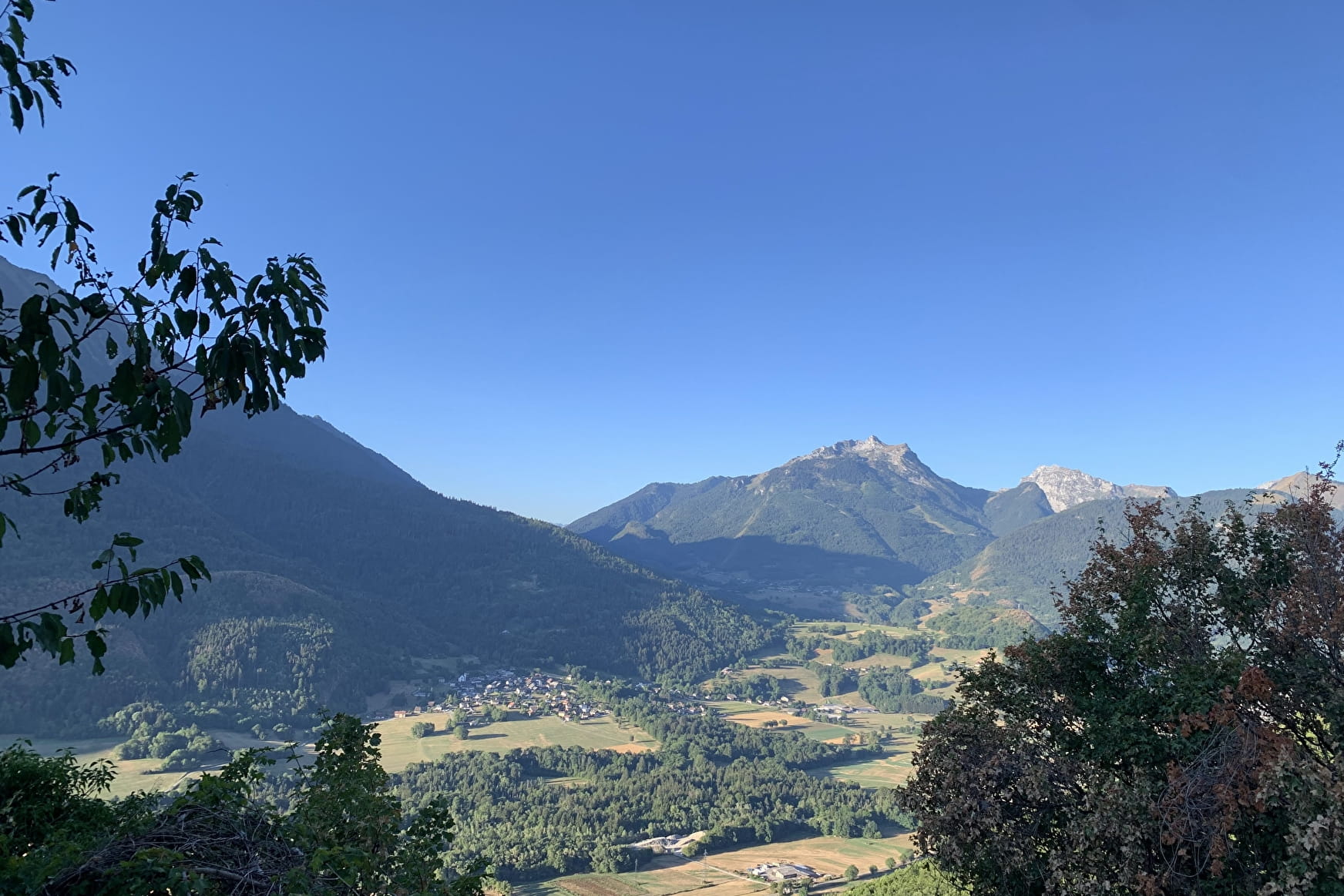
A family hike starting in the forest and then leading you to enjoy numerous varied views of the surrounding mountains (l'Arclosan, le Charvin, les Hautes Bauges, le Mont-Blanc...) as well as Faverges-Seythenex.
About

Map references
IGN Map TOP25 Sources du lac d'Annecy available at the Tourist Office at 19,5€
1/ From the pylon carpark, go right through the track that goes down to the forest towards le Replain.
2/ Then, follow the path ascending slightly towards Nantbellet hamlet.
3/ Turn right towards the chapel and the Roc de Nantbellet.
4/ Retrace your steps to the entrance of the hamlet and keep straight ahead on the track following the signs "Parking du pylône par le Guillon" up to the end.
5/Go to the ruins of the old farms in Guillon.
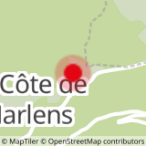
6/ Follow the track leading you to the Savioz, to the Côte de Marlens, and then back to your starting point.
Prices
Free access.
Reception
Period of practice
All year round.
Subject to favorable weather.
- Pets welcome