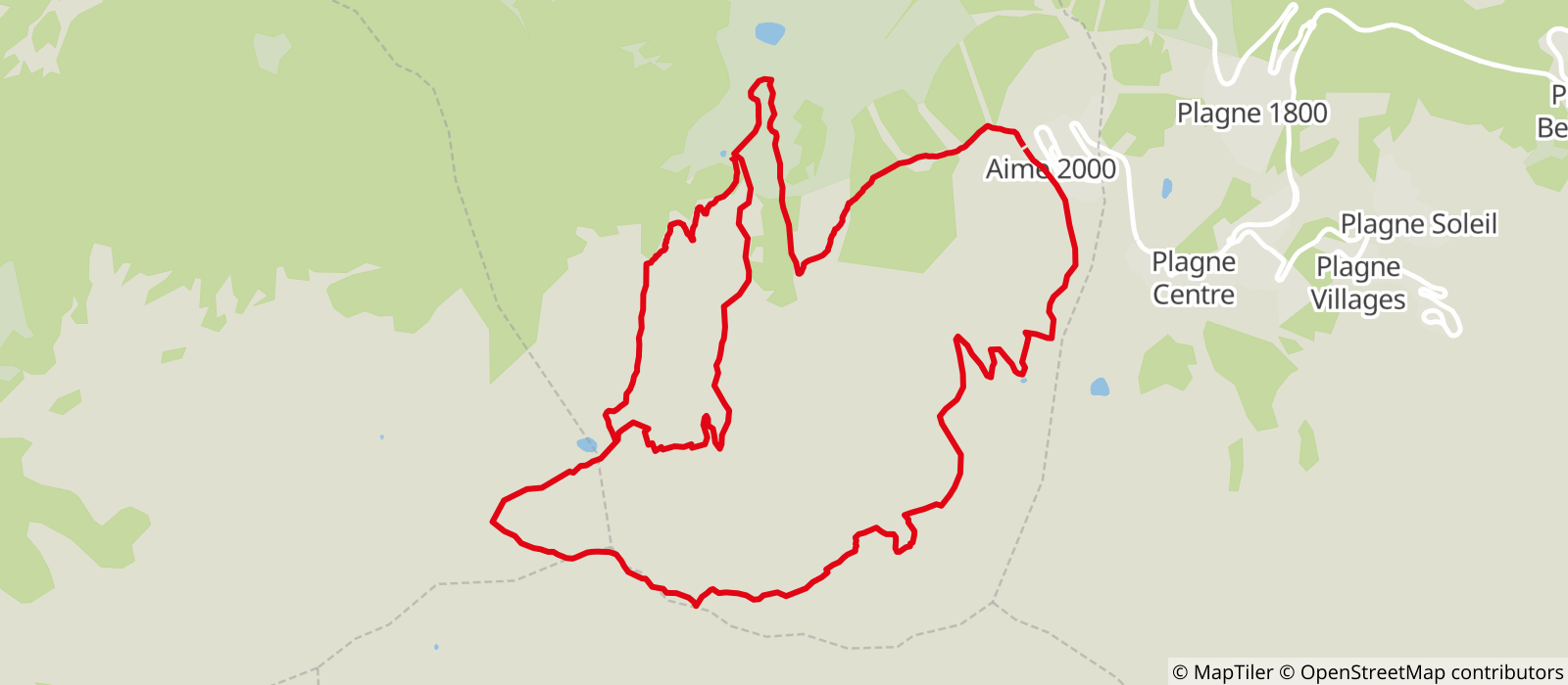
In Plagne Aime 2000, come out of the building on the mountain side and go right towards the top of La Roche chairlift. Take the path that goes down to the Chalet des Envers, cross the stream and walk up the track on the other side.
Before Chalet de Prajourdan, the track forks left and climbs towards the Col du Lac*. Leave Lac Bovet to the right and continue, going round the north face of Mont Jovet to approach the peak from the west. There is an orientation table at the summit.
On the way back, follow the first steep part of the path along the ridge to drop down to the Pas des Brebis (2439m) in the combe and climb to the summit of Le Martinet (2394m). At the top of Bécoin chairlift, take the 4x4 track back down to Plagne Aime 2000. You can stop off at the Mont Jovet refuge on the way. It is staffed in the summer (the path is marked from Mont Jovet).
*Variant possible via Tête de Jarset
The hike starts and finishes in Plagne Aime 2000 (2100m), Circuit trail
- Sport
Hike to Mont Jovet

A lovely walk towards Mont Jovet (altitude 2558m).

Sport Hike to Mont Jovet La Plagne
About

Further informations
Stone, Ground
Prices
Free of charge.
Period of practice
From 29/06 to 31/08/2024, daily.
Contacts
Access

