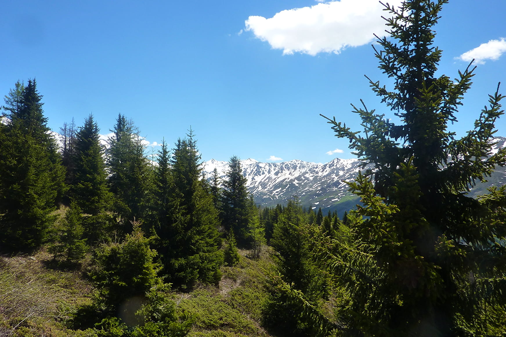
At the end of the car park, take the track of the Château. This 10km itinerary goes through forest and balcony overlooking the Maurienne valley and offers a breathtaking view of the small hamlets (Orelette, Orelle...) and the summits (Mont Brequin, Cime Caron...) on the opposite side.
Possibility to reach the lake of Bissorte and the EDF dam (add 2h30 return trip).
The return trip is by the same route.
- Sport
La piste du Château
Duration: +/- 4 hours
Departure: Plan Perrine's covered car park in Valmeinier Villages
Sport La piste du Château Valmeinier
About

Further informations
Stone
1 1

Reception
Period of practice
From 01/05 to 31/10.
Subject to favorable weather.
Services
- Pets welcome
- Play area
- Picnic area
- Car park
