Duration: 3 hour return
Difference in altitude: +350m
Altitude on departure: 950m
Altitude on arrival: 1225m
Map reference: IGN TOP 25 - 3429ET
Markings: wood signs and yellow painting
Difficulty: family-friendly
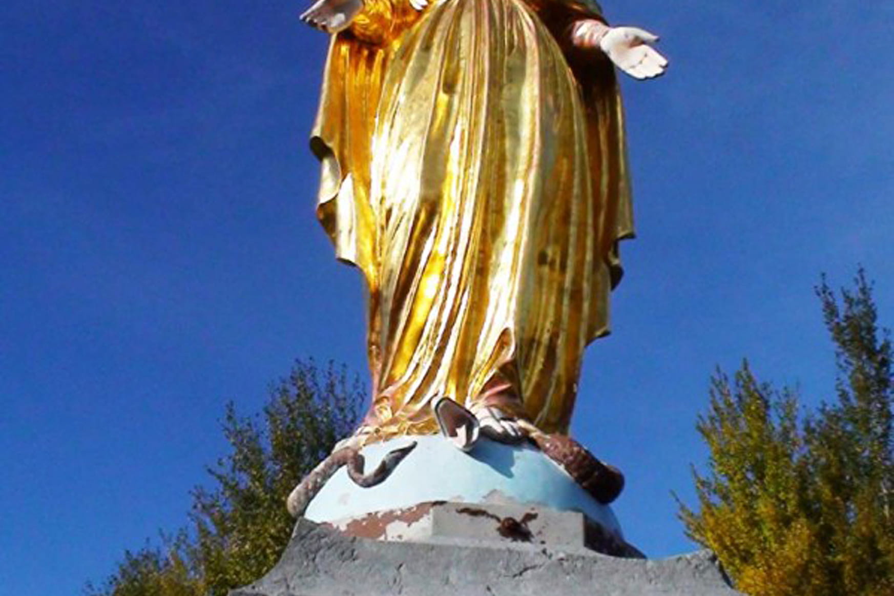
Set off from Habère-Poche church, go down the Moulin Neuf country lane and cross the Menoge before you reach the hamlet of Reculfou. At the peak of Reculfou, the path snakes through the forest via Les Cricolets crossroads before you reach the Col de Cou. Follow directions provided by the golden statue on the Col and you'll reach the summits in approximately 10 minutes. Go back down via Les Cricolets ridge then the Foyer Nordique des Moises, Le Chardet and Les Granges Mamet. You will then walk through the hamlets of Doucy, Vernay and lastly, Habère-Poche. This path takes you to a world of game so look sharp as you may see deer, stags, chamois and wildboar.
- Sport
L'Aiguille Route
An easy hike around the village of Habère-Poche in the heart of the Vallée Verte up to the Col de Cou and the peak of L'Aiguille. Look sharp, there's game all over the place.
Sport L'Aiguille Route Habère-Poche
About

Further informations
Ground
1 2


Reception
A Hiking guide with hiking is available from the Alpes du Leman Information.
Period of practice
From 01/04 to 31/10.
Services
- Pets welcome
- Coach parking
- Car park
Contacts
Access
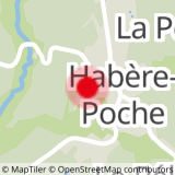
In the centre of Habère-Poche, follow the road opposite Tourist Information and park near the church. There's a large car park opposite Tourist Information just down from the main road.

