• Sport

Le chalet Ducray

Sport Le chalet Ducray Aillon-le-Jeune

About

Departing from Aillon-le-Jeune (73340)
Average length : 01h30
Total elevation gain : 220m
Vertical drop : 220m
Distance : 3km
Signed walking trail
Animals allowed

Way and back
Total elevation gain : 220m
Altitude max : 1380m
Vertical drop : 220m

Map references

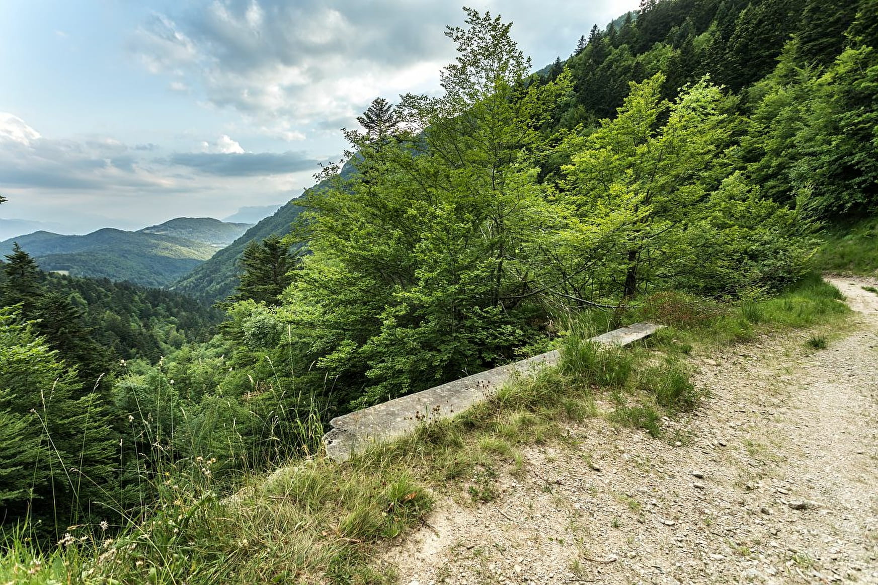
Map IGN3432OT Top 25 Massif des Bauges

Prices

Free of charge.

Reception

Animals allowed

Period of practice

From 01/05 to 31/10.

Subject to favorable snow and weather conditions.

Services
  • Pets welcome
Equipments
  • Car park
  • Free car park

Access

Parking du Rond-Point du Lindar. 73340 Aillon-le-Jeune
Departing from : Aillon-le-Jeune (73340)
Latitude : 45.570501 - Longitude : 6.084629

More informations

Information update on 27/06/2024 by Grand Chambéry Alpes Tourisme