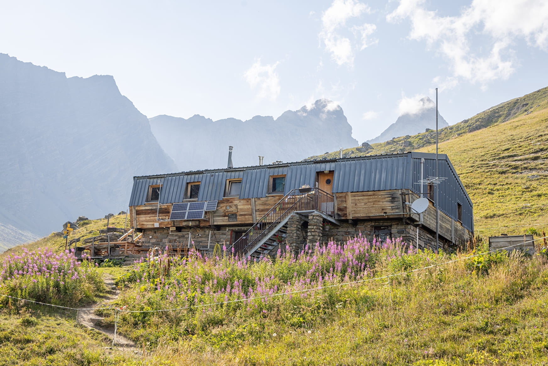
The Aiguilles d'Arves refuge is based at an altitude of 2260m and can accommodate up to 39 people under its roof.
On this hike, you'll discover magnificent flora and fauna.
Chamois and marmots can be spotted.
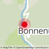
To activate geolocation, click on the map icon.
- Sport
Le refuge des Aiguilles d'Arves - Hiking itinerary
This hike will take you to the Aiguilles d'Arves refuge. During the hike, you'll enjoy the songs of marmots and the flights of birds of prey and vultures. All in the heart of a majestic landscape.
Sport Le refuge des Aiguilles d'Arves - Hiking itinerary Valloire
About

Signs
The trail is marked with yellow directional signs.
Difficult passages
Vertiginous passage at the "Mauvais pas", just before arriving at the refuge
Map references
Map of Valloire hiking and mountain biking trails, on sale at the tourist office. IGN map 3435ET VALLOIRE - Aiguilles d'Arves / Col du Galibier is on sale in Valloire shops.
Further informations
Rock, Ground
1 2


Precautions:
- Check weather conditions before you leave.
- Inform someone of your itinerary, as communication may be limited.
- Choose a morning departure to avoid being caught unawares at night.
- The routes you take are your own responsibility.
- You must choose an itinerary suited to your physical and technical abilities. If in doubt, don't hesitate to contact mountain professionals.
- Make sure you're properly equipped for safe hiking and weather conditions.
- This hike is best done in summer, when there's no more snow.
- Passage through scree just before reaching the refuge.
When hiking, there are a few things you can do to make your experience safer and more enjoyable. Walking poles (even on the road) improve balance, and regular hydration is essential.
Carry a water bottle and snacks to keep your energy up. Protect yourself from the sun with sunscreen and sunglasses. Don't forget binoculars to add a touch of observation to your adventure.
These small adjustments will help you get the most out of your getaway.
Start from the parking lot below the Bonnenuit altiport (D902).
1/ Take the forest path leading to the Chalets des Aiguilles d'Arves.
2/ Continue to the refuge (altitude 2260m). Vertiginous passage at "Mauvais pas", just before arriving at the refuge.
3/ Descend by the same route.
Prices
Free access.
Reception
To keep the mountains a pleasure, choose an activity suited to your level of experience and physical ability. Check the weather and seek advice from qualified professionals, and tell someone about your itinerary. Set off with the right equipment: good shoes and walking poles. In your rucksack, carry a water bottle and snacks to keep your energy levels up, a survival blanket or warm clothing. Protect yourself from the sun with sunscreen and sunglasses. Don't forget binoculars to add a touch of observation to your adventure.
Pets must be kept on a leash.
Period of practice
All year round.
Subject to favorable snow and weather conditions.
Services
- Pets welcome
- Restaurant
- Car park

