

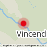
Leave the hamlet of Les Vincendières to join the carriage track, which will give you a good start to this hike.
Soon after leaving the forest, you come to an area of ancient perched hamlets. The small cirque of the torrent de Ré Bruyant is a peaceful place to observe the majestic Charbonnel and its hanging glacier. At 3752 m, this summit is a high-mountain dream come true. La Buffaz, la Mottuaz... But how do you pronounce these patois* names?
From scree slopes to stream crossings, the balcony trail is a total escape. Each stride brings you a little closer to a cool break by the Avérole torrent.
Before returning to the right bank, let your gaze wander for a moment over the glacier's seracs. The rustle of the breeze and the sound of the stream will accompany you all the way back. If you feel like it, extend your escape to the hamlet of La Goulaz for a guaranteed immersion experience.
- Sport
Le Revena
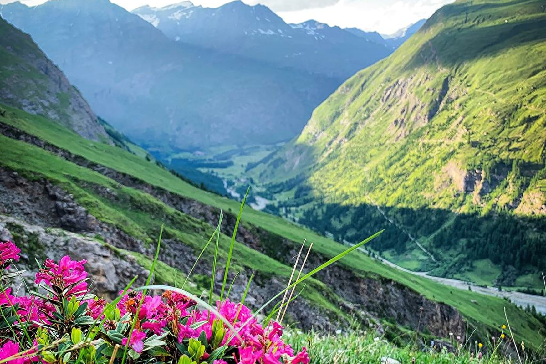
If you've always dreamed of immersing yourself at the foot of the glaciers, this is the perfect escape for you. Explore the high-altitude Revena balcony and flank a torrent of incomparable charm. The Avérole valley is waiting for you!
About
Signs
Departmental signposting (GR)
Map references
Map IGN 3633ET - Tignes Val-d'Isère
Topoguides references
Map and booklet "Haute Maurienne Vanoise. 115 walks and hikes - 35 trail routes. For all levels" (sold for €10 in Tourist Offices) - Itinéraire noir n°111
Further informations
Rock, Stone, Ground
To guide you in the field, consult the "step-by-step" directional diagram provided in pdf.
Prices
Free access.
Reception
The duration of hiking trails is calculated using reference paces: 300 m/h ascent, 500 m/h descent and 4 km/h on the flat.
As hazards may occur at any time on the routes, the GPX tracks provided are not contractual. They are given for information only. Riders use them at their own risk, depending on their level of technological proficiency and their understanding of the terrain.
Pets allowed on leash only.
Period of practice
From 01/07 to 01/10.
Subject to favorable snow and weather conditions.
- Pets welcome
- Parking nearby
Contacts
Access
By bus: Line 3 - stop at Parking les Vincendières
By car: on leaving Bessans, take the road to Les Vincendières on the right after the bridge. Park in the parking lot just before the hamlet.