

Are you ready to traverse a forest suspended above the Val d'Ambin? Starting from Le Cernay, the warm-up is short as far as La Villette. The ubac route then seems a little steep for the first hour, but there are plenty of cool breaks along the Laméranche stream.
The combe des Archettes suddenly welcomes you, opening up onto a grazed clearing. The patous keep a watchful eye on their herd. Fear not, stay on your well-trodden path. But what are those curious gypsum formations to your left? The ridges of Général Sarret will soon make you forget the 800 m you've already climbed.
Stop off near Lac de l'émeraude and take in the Mont Froid fort. The former military barracks bear witness to a rich military history. The detour was well worth the 360° panorama!
Return to your original route to reach the Petit Mont Cenis plateau. Surrounded by peaks as wild as they are fascinating, enjoy the fresh air at 2639 m altitude.
Soon it's time for a quiet descent, with all those memories in your travel diary.
- Sport
Les Archettes
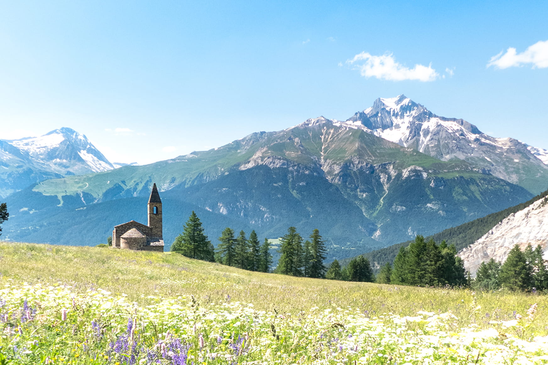
After this out-and-back escape, rich in altitude differences, the mountain range will hold no more secrets for you. From the torrent d'Ambin to the Col de Sollières, discover a varied and rejuvenating world.
About
Signs
Departmental signposting (PR)
Map references
Map IGN 3634OT - Val Cenis
Topoguides references
Map and booklet "Haute Maurienne Vanoise. 115 walks and hikes - 35 trail routes. For all levels" (sold for €10 in Tourist Offices) - Itinéraire noir n°103
Further informations
Rock, Ground
To guide you in the field, consult the "step-by-step" directional diagram provided in pdf.
Prices
Free access.
Reception
The duration of hiking trails is calculated using reference paces: 300 m/h ascent, 500 m/h descent and 4 km/h on the flat.
As hazards may occur at any time on the routes, the GPX tracks provided are not contractual. They are given for information only. Riders use them at their own risk, depending on their level of technological proficiency and their understanding of the terrain.
Dogs on a lead.
Period of practice
From 15/06 to 15/10.
Subject to favorable snow and weather conditions.
- Pets welcome
- Parking nearby
Contacts
Access
To get there by car: From Bramans, follow the RD 100 to Cernay.