From the Arêches Church, go up to the top of the village to the left of the tobacco press and discover the traditional chalet and the wash place. Pass the last farm in the heart of the village and take the small path of the Ravines to the hamlet of Les Envers. On the way back, you will follow the torrent of Poncellamont which arrives straight from the dam of St Guérin.
Les Envers is the name of the hamlet located at the foot of the slope facing north overlooking Arêches. The word "reverse" (ubac), as opposed to "the sunny side" (adret), means a slope facing north.
At the foot of the slope of the Envers, on the opposite slope, were exploited,
until 1950, veins of "lean" anthracite. Four galleries - now condemned for safety reasons - were dug for mining. The ore crossed the torrent in wagons on a
wood bridge. The exploitation of this coal had its interest during
World War II then was quickly abandoned.
- Sport
Les Envers loop
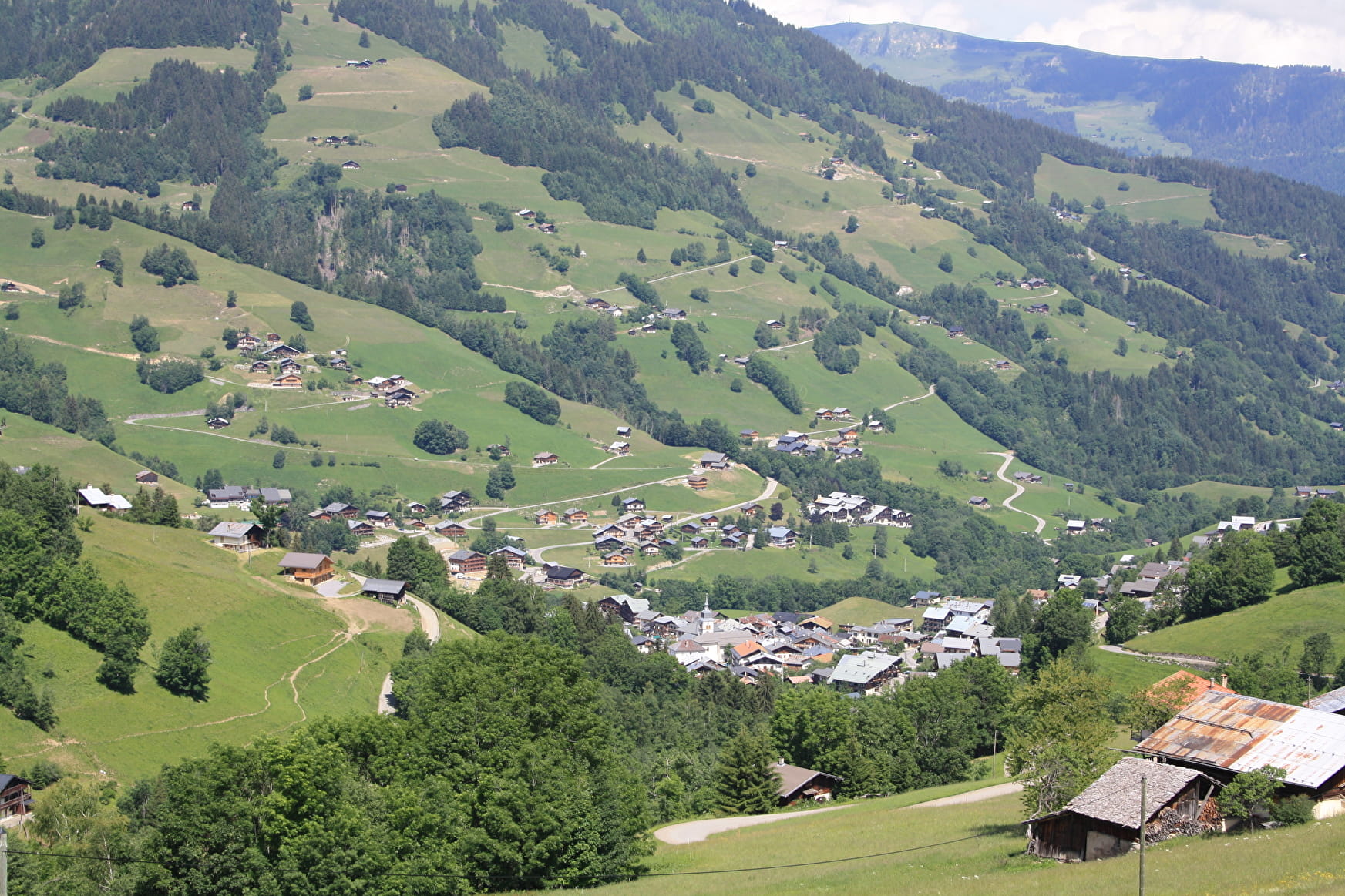
This loop starts in the village to go up to the village of Les Envers, enjoy a beautiful view on the valley and go down along the Poncellamont torrent.
About

Signs
yellow blades
Map references
carte 3532 OT Massif du Beaufortain top 25 IGN cartoguide Beaufortain
Further informations
Ground, Hard coating (tar, cement, flooring)


0/ Start : Sundial square in front of the church
1/ Take the path of the Sisters
2/ Cross the road and continue on the rising lane to the wash house
3/ Just before the wash house, turn right towards the Cuvy (yellow sign) and follow the path towards the chairlift.
4/ Pass under the Grand Mont chairlift then
5/ Turn left towards Les Envers
6/ Cross the hamlet then go down by road to the bridge
7/ Just after the bridge, take the path on the left along the Poncellamont until returning to the village
Reception
Period of practice
From 01/05 to 31/10.
Subject to favorable snow and weather conditions.
- Pets welcome
Contacts
Access
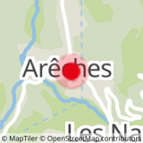
Park in Arêches, the route begins in front of the church, to the left of the newsagent

