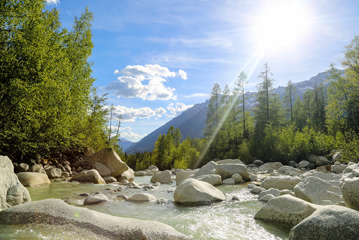
Leave the village by the chemin de la Source. You will see on the left a rock bearung the inscription "1825" (listed site) which is a reminder of the year when Mer de Glace advanced to its furthest point (site of the grotte d'Arveyron). Follow the right bank of the river through the forets of larch and spruce. At the EDF tramway station, avoid the path on your left which leads to le Chapeau bby Cote du Piget and keep going to your right as far as the rocky viewpoint. Here you can admire the Rocher des Mottets, the Gorges and the Sources de l'Arveyron, which flows out of the snout of the Mer de Glace.
Suggestions: It is possible to walk back to Chamonix via Pierre à Orthaz and the villages of Coverays, la Frasse and Les Mouilles (chemin des Cristalliers) or via Bois de la Bagna and Bois du Bouchet.
- Sport
Les Sources de l'Arveyron walk

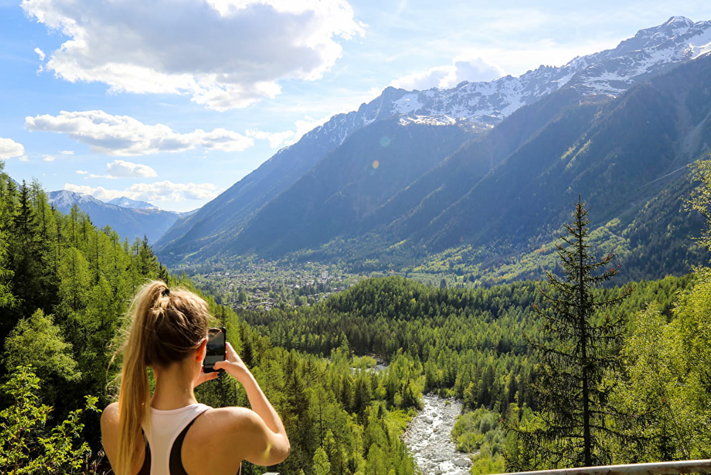
This is the last walks around Bois du Bouchet and the PIerre à Orthaz. A lovely wild setting beside the river Arveyron.
Sport Les Sources de l'Arveyron walk Chamonix-Mont-Blanc
About

Further informations
Stone, Ground
1 2


Prices
Free access.
Reception
Period of practice
From 10/04 to 31/10.
Services
- Pets welcome
- Car park
Contacts
Access
Car park nearby
Nearest bus stop: Les Bois
Nearest train stop: Les Praz de Chamonix