
Starting from the Lavoir, the first climb on a track is a little steep, but you'll soon forget the effort as you reach La Loza water basin. From chalet to chalet, the path winds through the alpine pastures as Tarine cows placidly look on, chewing tender grass and wildflowers. Nestled at the foot of Mount Tabor, a stunning backdrop, the refuge sits on the banks of the enchanting Sainte-Marguerite and Lac Long lakes, patiently awaiting hikers who need a rest. Then the trail slips through Col de la Vallée Narrow before climbing to Lac Peyron and Col des Méandes. The landscape becomes more lunar, and you feel infused with the serenity of the place as youadvance towards the chapel, like the French and Italian pilgrims who gather there every year. Once at the top, embrace the vastness of the Tabor opening out before you, with a stunning view of the Alps' high peaks, from Viso to Meije. Granted, this is a long hike, but by the time you get back, your mind is filled with magnificent images. This rock giant has truly bathed you in tranquillity!
- Sport
Mount Thabor and its Refuge
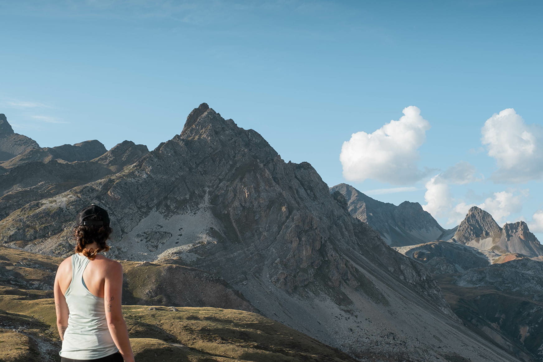
Dreaming of reaching 3,000 m and never dared to? The Tabor awaits you! You need a good level of fitness for this route that, with no technical complications, leads you into the magical high-altitude world of majestic mountain landscapes.
About
Signs
Mixed signposting (PR and GR)
Map references
Map IGN 3535OT - Névache Mont Thabor
Topoguides references
Map and booklet "Haute Maurienne Vanoise. 115 walks and hikes - 35 trail routes. For all levels" (sold for €10 at the Tourist Office) - Itinéraire noir n°98
Further informations
Rock, Stone, Ground
To guide you in the field, consult the "step-by-step" directional diagram provided in pdf.
Prices
Free access.
Reception
The duration of hiking trails is calculated using reference paces: 300 m/h ascent, 500 m/h descent and 4 km/h on the flat.
As hazards may occur at any time on the routes, the GPX tracks provided are not contractual. They are given for information only. Riders use them at their own risk, depending on their level of technological proficiency and their understanding of the terrain.
Pets allowed on leash only.
Period of practice
From 01/07 to 01/10.
Subject to favorable snow and weather conditions.
- Pets welcome
- Parking nearby
Contacts
Access
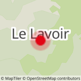
I'm going by car: park in the Lavoir parking lot on the driveway.