Using the legend and symbols on the map, orient yourself and find your position and the route you need to take to find the markers in the proposed order.
The starting point is represented by a triangle (Nordic ski chalet) and each marker by a circle with its number. In the centre of each circle is a characteristic feature of the terrain (intersection, corner fence, tree, etc.) on which the marker is located. Sometimes you have to go off the beaten track a little to find the marker.
On each beacon, the code number will allow you to check your location. Punch your map in the corresponding box.
Once you have completed the course, come and check your punches at the Tourist Office and win some goodies!
The colour of the route does not indicate its difficulty.
Blue route: The Wood on snowshoes
- 8 markers to find
- 3.3 km
Recommendations :
- Do not use the cross-country skiing and dog sledding routes.
- Be aware of other skiers, snowshoers, pedestrians and sled dogs.
- Dogs are allowed and kept on a leash
You use this space and this orientation course under your own responsibility and under the condition that the Nordic area is open.
- Sport
Orienteering course: on snowshoes
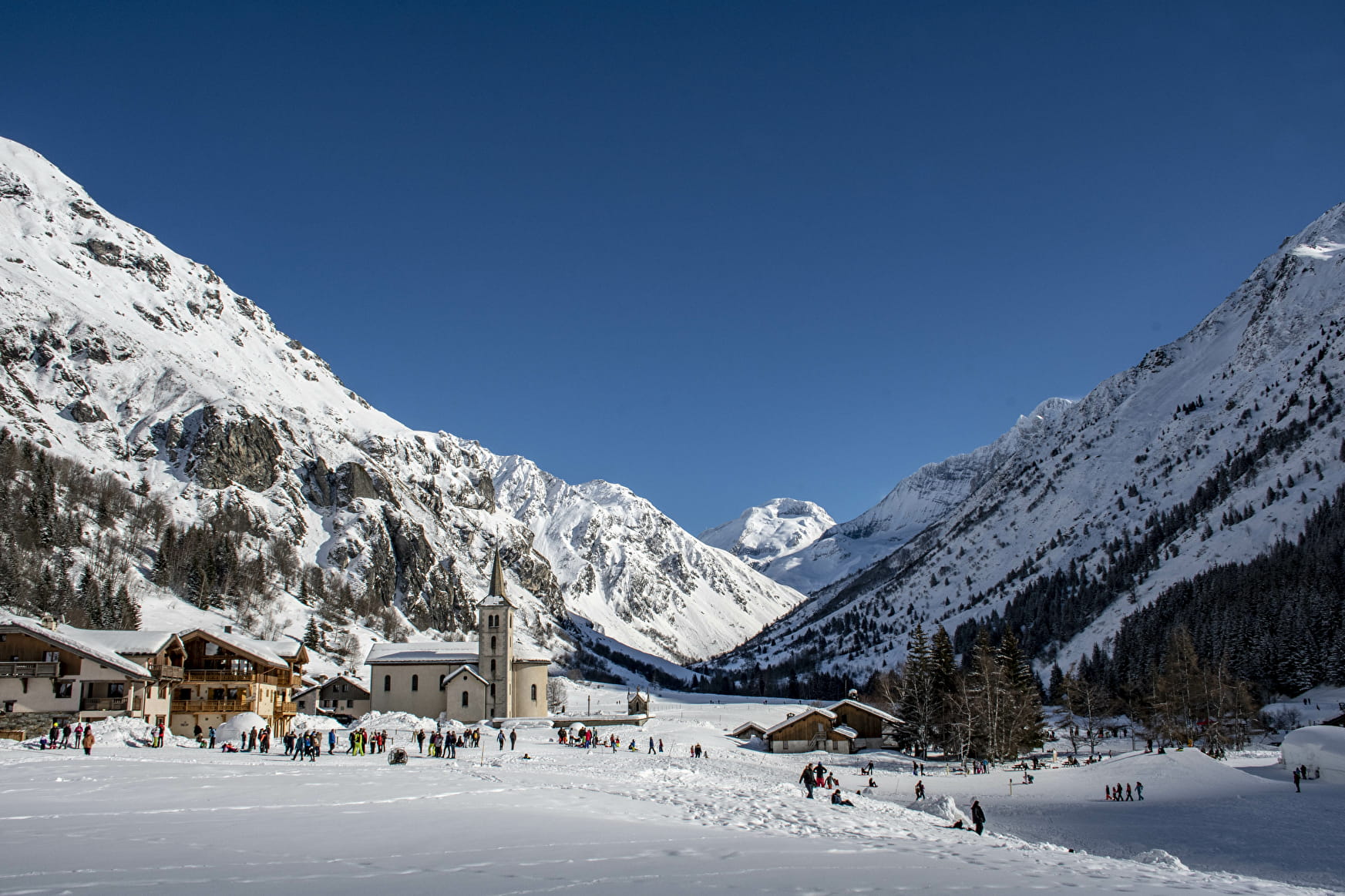
Welcome to the Champagny le Haut Orienteering Course for walkers and snowshoers!
Choose the blue route, and with the orientation map, find the markers in the order suggested.
About
1 2


Prices
Free access.
Methods of payment accepted : Bank/credit card, Cash
Reception
Period of practice
From 17/12 to 21/04 between 9 am and 5 pm.
Subject to snow conditions.
Equipments
- Public WC
- Car park
Contacts
Access


