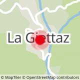
DEPARTURE: The village of Giettaz in Aravis with the church of Saint Pierre aux Liens and the museum of the past that tells the life of the Giettois.
ROUTE: From the Tourist Office, go down along the departmental until the BRIDGE OF GIETTAZ (be vigilant on this passage). Follow the directions ON ARRONDINE and the 4 PATHS, then return to the hamlet CHAPETS. To return to the village, take direction ROC DU CHARBONNIER then again ON THE ARRONDINE.
The return itinerary is then the same as on the way out.
POINTS OF INTEREST:
- Panorama from Chapets on the cliffs of the Aravis mountain range: Étale (2484m) and Merdassier (2413m).
- We dominate the valley of the Arrondine and the "Rock of the City" (above the village of Giettaz), consisting of many layers of shale (slates) dating back 3 million years!
- Sport
The Chapets
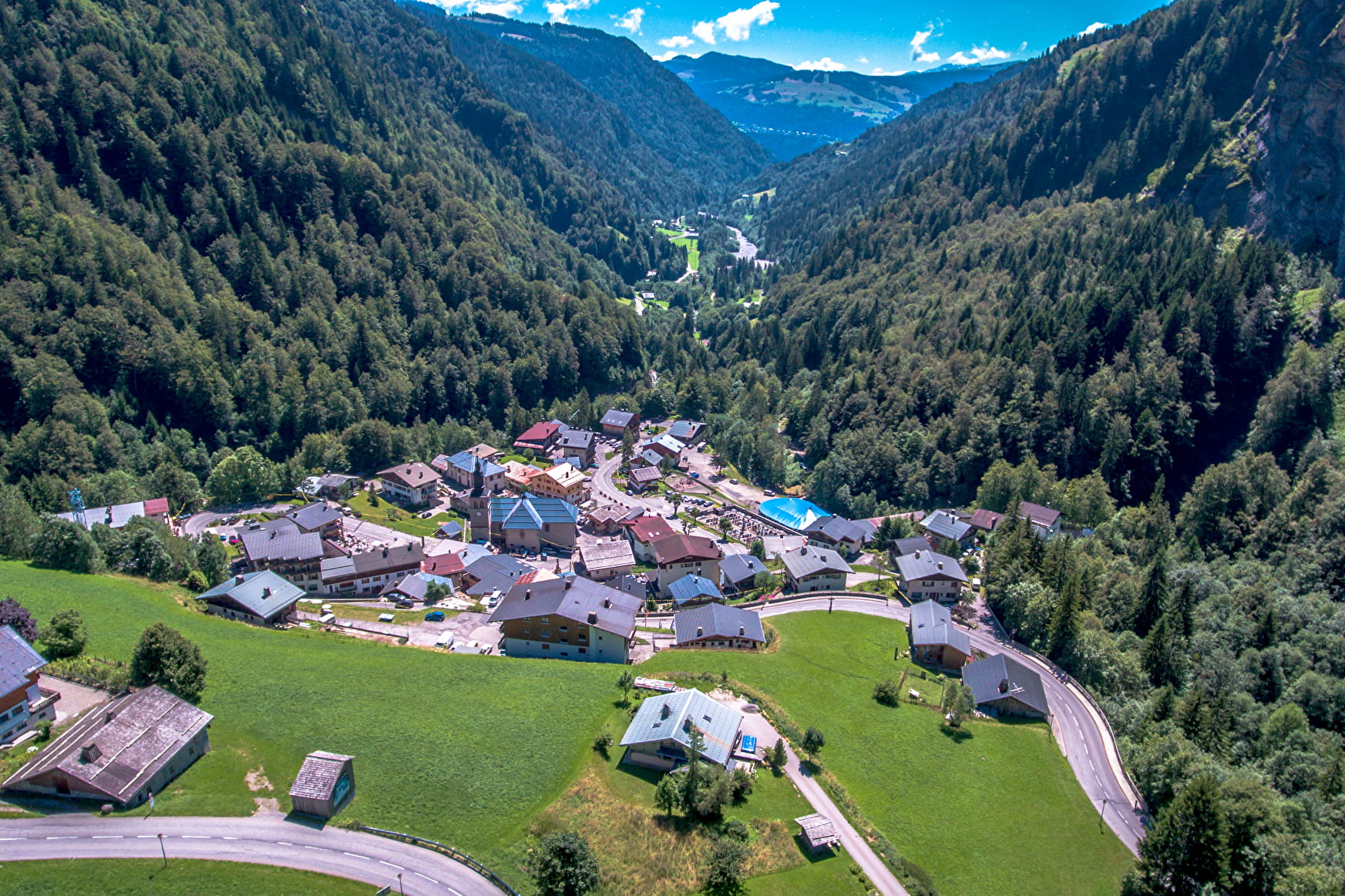
Forest walk to discover an old mountain hamlet.
Sport The Chapets La Giettaz
About

Signs
Marked with yellow signs.
Topoguides references
Walking and hiking map of the Val d'Arly for sale at 9 € or Topo Walks and Short hikes on sale at € 4 in the tourist offices.
Prices
Walking and hiking map of the Val d'Arly for sale at 9 € or Topo Walks and Short hikes on sale at € 4 in the tourist offices
Methods of payment accepted : Check, Bank/credit card, Cash
Reception
Dogs must be on a leash.
Period of practice
From 01/06 to 30/09.
Services
- Pets welcome