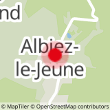
This route, starting from the village of Albiez-le-Jeune, is the first stage of the Tour du Pays des Aiguilles d'Arves.
You'll soon leave the narrow streets of Albiez-le-Jeune to discover a route through meadows and forests that leads to the Moine de Champlan, a bizarre fairy chimney with a coiffed head.
Your path then alternates between departmental road, hamlet and stream crossing before arriving at the Chef-lieu of the pretty village of Albiez-Montrond.
Here, you'll find restaurants and grocery stores.
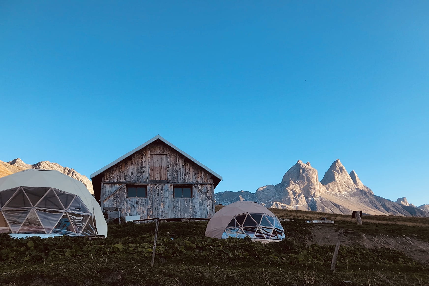
Once you've reached the Col du Mollard, you'll arrive on the Plateau de Montrond at the end of the day, where you can admire the sunset from the terrace of the cosy Chalet d'la Croë.
- Sport
Tour of the Aiguilles d'Arves - Albiez-le-Jeune / Chalet d'la Croë
This itinerary, starting from the village of Albiez-le-Jeune, is the first stage of the Tour du Pays des Aiguilles d'Arves. At the end of the day, you'll leave civilization behind and arrive in the alpine pastures of the Plateau de Montrond, at the foot of the Aiguilles.
Sport Tour of the Aiguilles d'Arves - Albiez-le-Jeune / Chalet d'la Croë Albiez-Montrond
About

Signs
The trail is marked with yellow Tour du Pays des Aiguilles d'Arves signs.
Further informations
Rock, Stone, Ground
1 1

We advise you to book accommodation well in advance, given its small capacity.
Recommended equipment :
- Mountain boots suitable for walking on varied terrain (rigid soles)
- Rain gear
- Warm clothing
- Pair of telescopic poles
- Cash (CB terminals not always available in refuges)
1/ From the Chef-lieu of Albiez-le-Jeune, head towards Moine de Champlan.
2/ At Moine de Champlan, turn left towards Les Aiguilles d'Arves to join the RD80 at Croix de la Ducherie
3/ Turn right on RD80 to Ravin du Claret
4/ Take the track on the right towards the hamlet of Bonvillard.
5/ Cross the hamlet and continue towards Albiez-Montrond
6/ Return to the RD80 at Des Combarres. Follow the road to Place Opinel.
7/ Head for Col du Mollard. Take the Montée du Col
8/ At the Col, continue for 100 m, then turn slightly left onto Rue du Ravarin towards La Frédière.
9/ At the Échaux chairlift, turn left onto Route de la Praz, continuing towards La Frédière.
10/ At La Frédière, go back down to Rieu Gilbert, then up via the Sur la Broue chalet.
11/ Rejoin the road, continue uphill, then turn left onto the path towards Les Chabottes.
12/ At the signpost for Le Torrent, turn right onto the track. Take the left-hand track to Chalet d'la Croë.
Prices
Free access.
Reception
Dogs must be kept on a leash due to the presence of herds.
Period of practice
From 20/06 to 20/09.
Subject to favorable weather.
Services
- Pets welcome
- Public WC
- Car park
- Free car park
Contacts
Access
- Not accessible in a wheelchair
