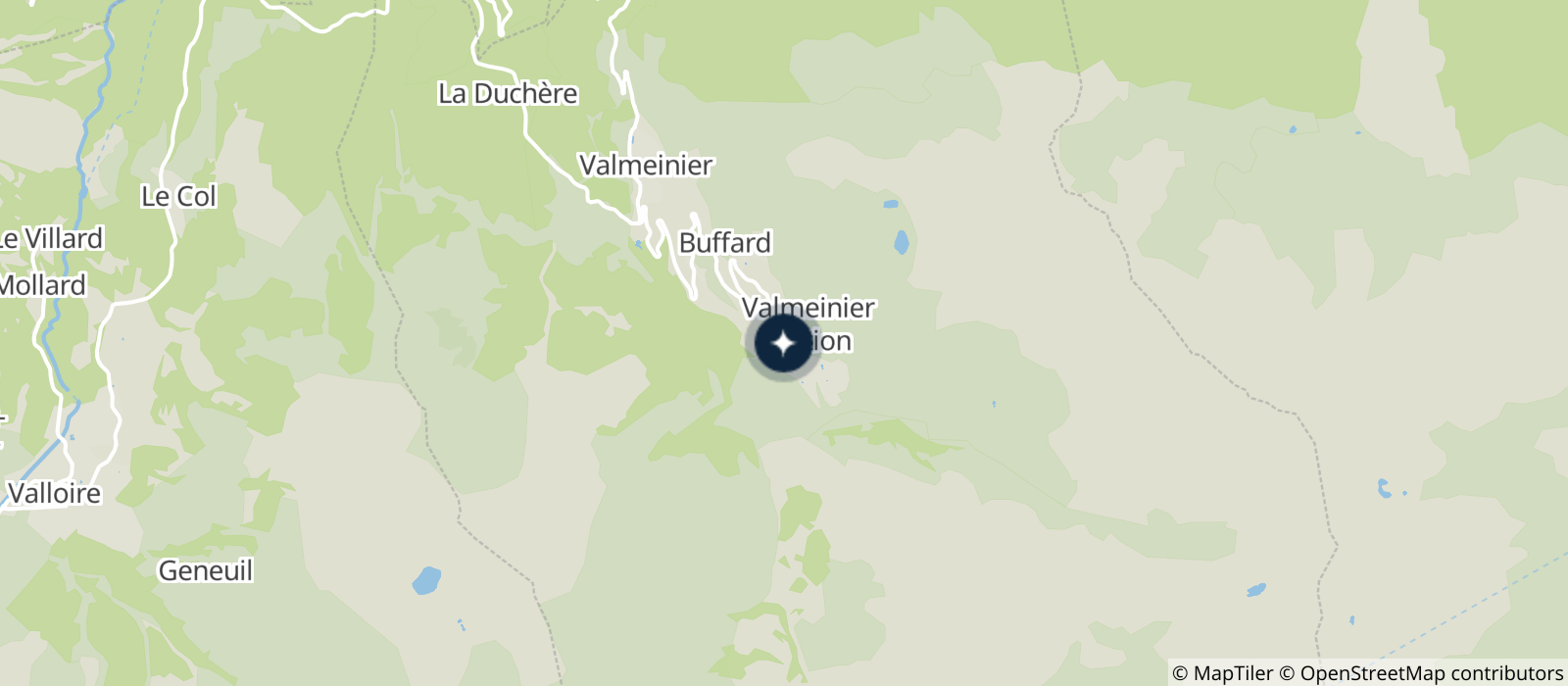
Departure: Level 0 - House of Valmeinier : Cross the road to the left and follow the yellow signs. At the intersection of the Chaudanne and Neuvache tracks, turn right in the direction of the Deserts until the cross.
At the Desert Cross 2 options :
1 - Valmeinier Villages by the banks of the Neuvache river
Turn left in the direction of Les Lières (playground and picnic area, butterfly and botanical trail) then continue right on the track along the torrent until you reach the Girodière. Reach the Tourist Office by the road (towards the church) or by the lanes (towards La Gwape). Return by the same route or by looping backwards on the other route.
2 - Valmeinier Villages by the hamlets
Turn right, pass Grange Bernard and then La Combaz. At the crossroads with the main road you can go to the Mont Thabor farm (left at 300m) or cross the road to Valmeinier Villages. At La Becha, take the road on the right up to the chapel of La Ville Dessus (Valmeinier Villages). On the left after the chapel go down towards the Tourist Office square by taking the small path arriving at the level of the climbing wall. Return by the same route or by looping backwards on the other route.
- Sport
Walk between Valmeinier 1800 and Valmeinier Villages

Walk to the Village via the Lières leisure centre.
Duration: +/- 2h (return trip or loop)
About

Signs
Yellow marks
Map references
TOP 25 IGN Névache Mont Thabor
Topoguides references
Carte des randonnées Maurienne Galibier en vente à l'office de tourisme
Further informations
Stone, Ground
Prices
Free access.
Reception
Period of practice
From 01/05 to 30/11.
Subject to snow conditions.
Services
- Pets welcome
- Play area
- Picnic area
- Barbecue
- Car park
- Free car park
Contacts
Access
Closest shuttle stop : Maison de Valmeinier
- Not accessible in a wheelchair


