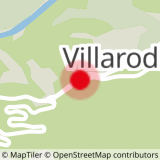
Starting point: Entrance of the village (or from La Norma departure path of the arts, be careful to cumulate the times).
- Sport
Walking between Villarodin and Le Bourget
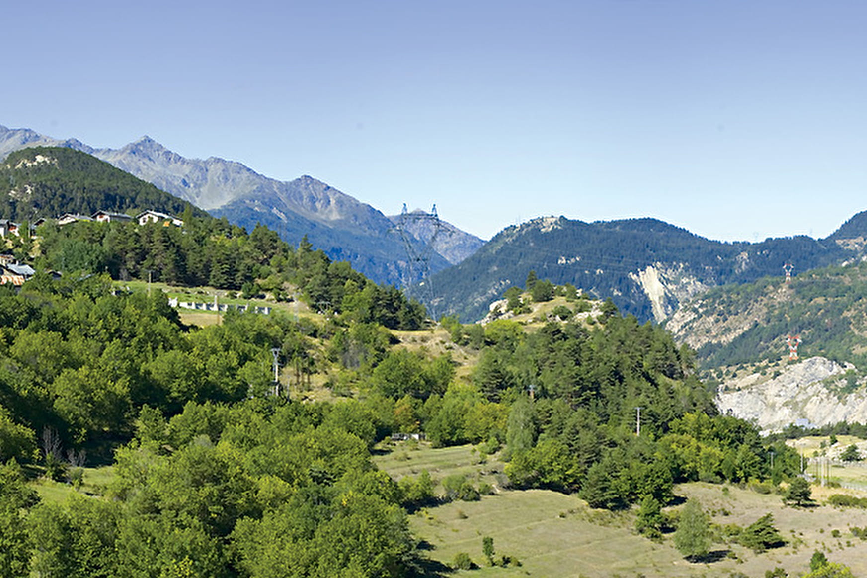
Walk between the villages of Le Bourget and Villarodin
Sport Walking between Villarodin and Le Bourget La Norma
About

Signs
Panel #16
Topoguides references
La Norma Tourist Office Trail Map Markings: panels with no. 16
Further informations
Hard coating (tar, cement, flooring), Ground
From the exit Villarodin, follow the road towards Le Bourget. Cross the river Arc and discover the colored gardens and the Baroque church Saint-Pierre.
Prices
Free access.
Reception
The duration of hiking trails is calculated using reference paces: 300 m/h ascent, 500 m/h descent and 4 km/h on the flat.
As hazards may occur at any time on the routes, the GPX tracks provided are not contractual. They are given for information only. Riders use them at their own risk, depending on their level of technological proficiency and their understanding of the terrain.
Period of practice
From 15/06 to 30/09.
Subject to favorable snow and weather conditions.
Services
- Pets welcome
- Restaurant
Contacts
Access
Parking located at the entrance to Villarodin from the RD1006. Start of the hike accessible via line 3: Modane - La Norma and get off at the "Aire de chainage" stop.
- Accessible for wheelchairs with assistance