• Sport

Walking itinerary : les bords de l'Aire

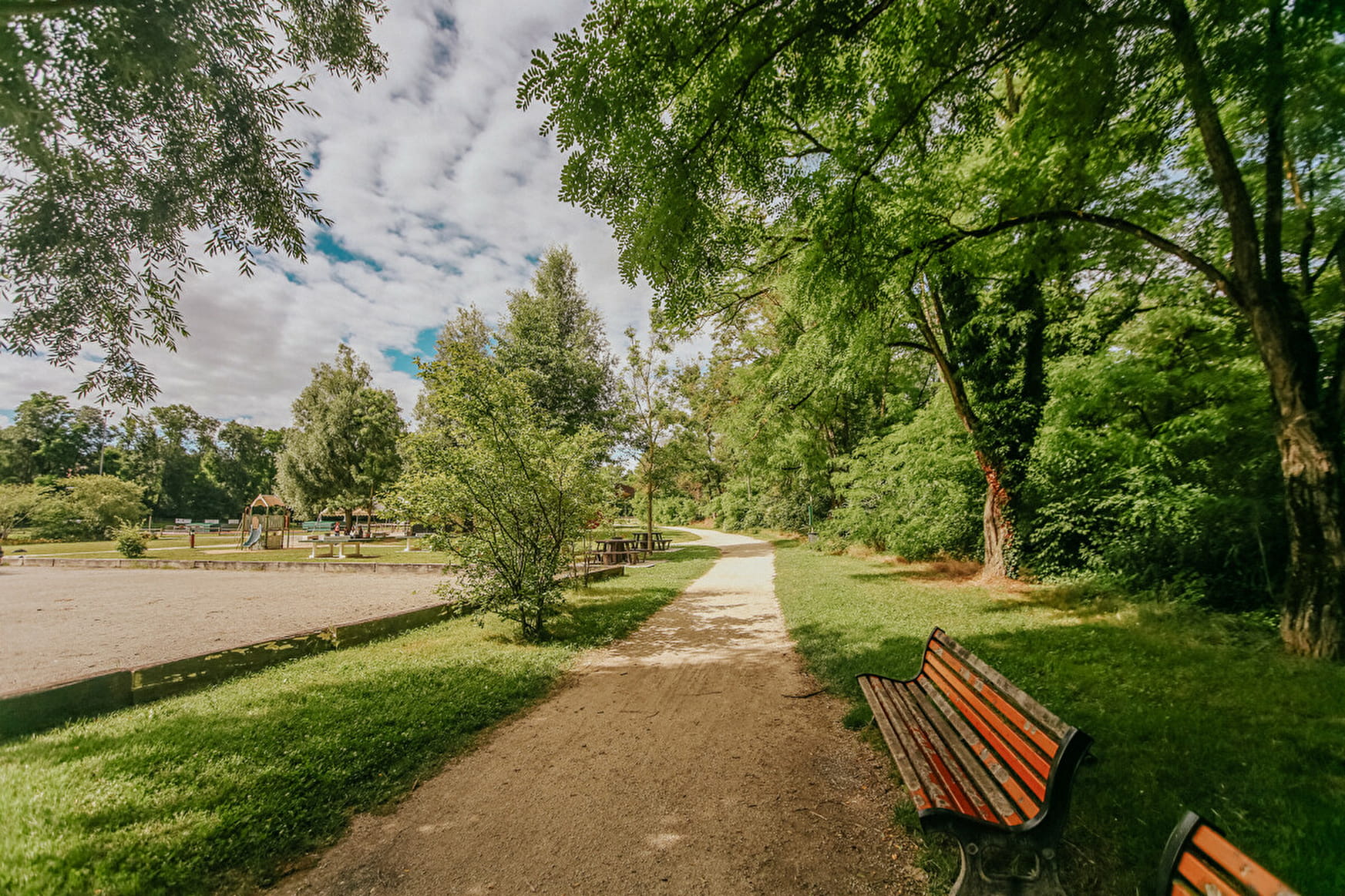
A refreshingly pleasant walk along a river on the French side and then on the Swiss side to Lully.

Sport Walking itinerary : les bords de l'Aire Saint-Julien-en-Genevois

About

Departing from Saint-Julien-en-Genevois (74160)
Average length : 01h30
Total elevation gain : 26m
Vertical drop : 26m
Distance : 6km
Signed walking trail
Animals allowed

Way and back
Total elevation gain : 26m
Altitude max : 443m
Vertical drop : 26m

Further informations

Ground, Grit

    1 2

    Prices

    Free access.

    Reception

    Open to children
    Animals allowed
    Languages spoken : French

    Period of practice

    All year round.

    Services
    • Pets welcome
    Equipments
    • Play area
    • Picnic area
    • Parking nearby

    Access

    Stade de la Paguette 2-10 chemin du Loup 74160 Saint-Julien-en-Genevois
    Departing from : Saint-Julien-en-Genevois (74160)
    Latitude : 46.147303 - Longitude : 6.072561
    Information update on 17/05/2024 by Office de Tourisme des Monts du Genevois